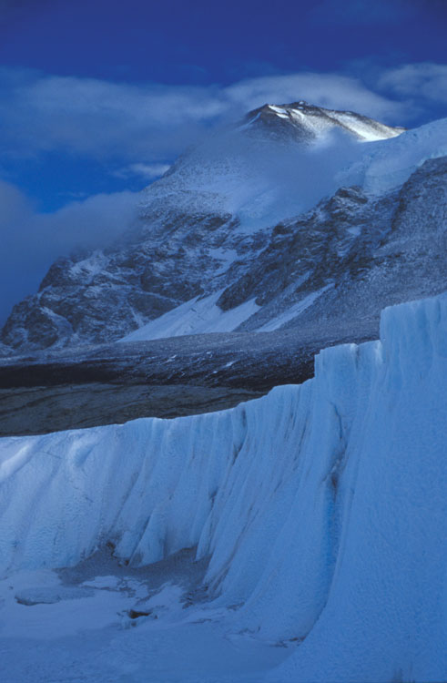
Close to the terminus of the Taylor Glacier, meltwater carves some pretty deep channels in the ice. On the day when we installed the lowest of our survey poles, we took a walk a little way down some of the channels. Unlike most river channels which tend to flood up to the bankfull level about once per year, these channels never get full. The ice cliff pictured is about 3 meters tall. Ice that calves from the hanging glacier in the distance, to the right of the peak, tumbles down the rock face and then lands on the ice slope below. There it is reconstituted into another glacier which continues flowing down the slope.