Antarctica

November 2002 to January 2003

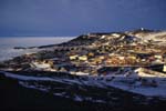
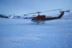
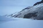
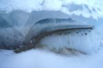
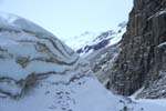
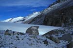
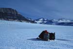
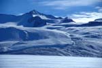
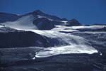
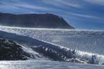
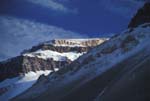
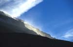
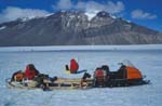
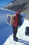
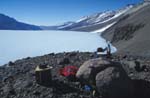
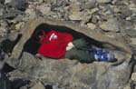
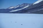
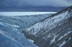
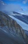
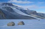
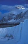
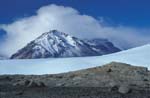
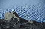
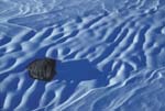
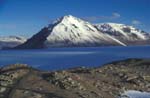
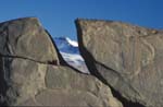
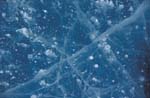
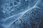
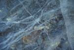
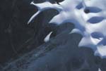
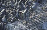
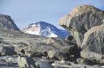
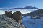
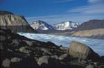
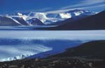
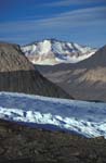
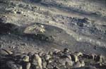
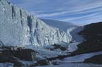
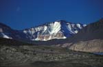
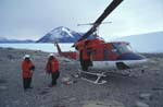
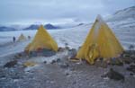
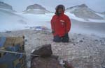
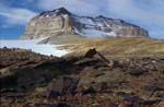
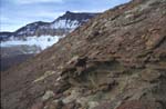
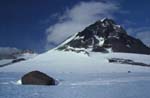
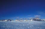
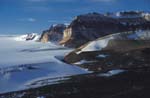
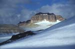
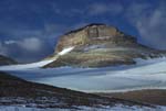
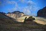
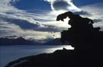
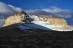
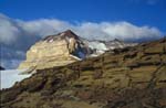
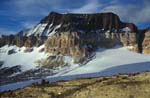
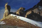
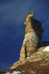
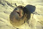
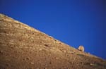
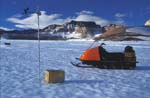
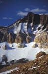
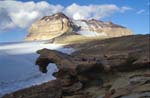
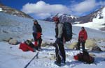
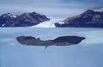
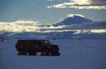
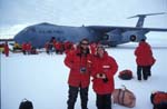
I returned to Antarctica in November of 2002 to work on a project with UC Berkeley on the Taylor Glacier. General location map of the Taylor Glacier. This map is a portion of the McMurdo Dry Valleys Satellite Image Map from the United States Geological Survey. The Landsat 4 satellite took the image on January 6th, 1993. A panorama from above Camp 3.


001McMurdo 002Helo 003LowerTaylor 004Landed 005CampLake 006Bubbly 007CampCliffs 008MoraineCamp 009snowmobileNap 010stocking1 011stocking2 012FriisSnow 013PlummetCliff 014KukriFog 015GPSSurvey 016SolarPanels 017BaseStation 018KurtInRock 019Radar 020IceEdge 021Dikes 022LowMoraine 023IceCliff 024KukriHills 025Icefall 026SnowPatterns 027CRKukri 028Cleft 029Lake1 030Lake2 031Lake3 032Lake4 033Lake5 034Lake6 035BlastedBoulder 036MorainicBoulder 037RoundStPaul 038CRRoyalSociety 039StPaulIcefall 040Mars 041IceCliff 042StPaulsMoon 043HeloToC3 044Camp3 045SelfPortrait 046TheBeacons 047BeaconSandstone 048InlandFort 049IronClose 050IronMedium 051IronFar 052NotSoRoundMt 053BeaconValley 054InlandForts 055WestGroin 056CloudyFort 057CloudyFort2 058CrazyRock 059CrazyRockSilh 060SunnyFort 061GreenishBedrock 062MyFavorite 063Pillars 064Pillar 065seal 066Solitary 067Davis 068acrossTheWay 069Pincer 070LittleGlacier 071CRWindyGully 072MatTrack 073JSC141 074NZsunset
Home