Antarctica
October 2003 to December 2003
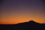
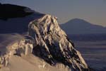
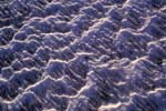
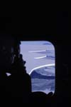
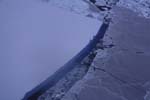
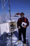
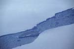
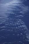
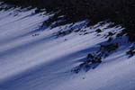
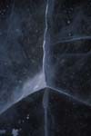
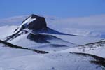
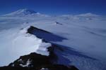
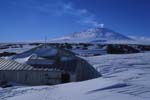
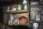
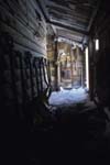
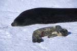
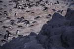
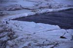
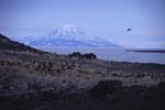
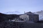
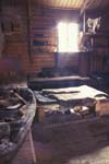
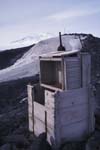
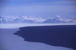
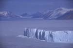
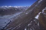
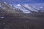
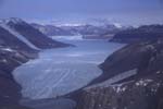
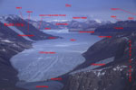
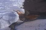
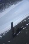
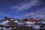
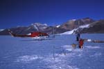
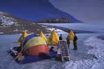
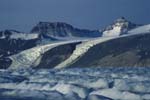
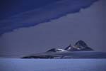
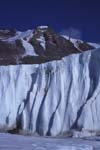
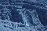
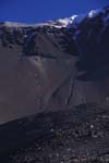
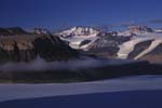
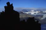
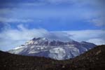
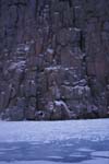
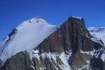
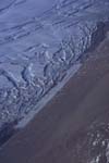
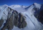
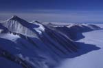
I returned to Antarctica for the 2003-4 season to work on both projects that I had been involved in during previous years: the iceberg project and the Taylor Glacier project. We had a busy season. For the purposes of the slide show below, I condensed the eight and a half round trip helicopter flights that I made over the course of the season into two flights. The first hypothetical flight goes out to the icebergs and back and the second flight goes to the Taylor Glacier and back. The captions for the pictures tell a bit about what is in the image, what we were doing at the time, and/or a bit about the science we were working on. For those of you that are interested in Antarctic science I wrote up an intro to each of our projects describing the motivations for doing the work, some of the important questions we're asking, and a few details of what we did to begin to answer those questions.
Intro to Iceberg Science
Intro to Taylor Glacier Science
Cool Taylor Weather Station Movies
Weather Station Data Analysis
AGU Poster 2004 (5.3 Mb pdf)
AGU Poster 2005 (4.6 Mb pdf)
AGU Poster 2006 (2 Mb pdf)
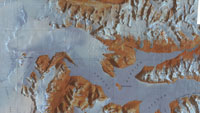
Here is the Taylor Glacier portion of the McMurdo Dry Valleys Satellite Image Map from the United States Geological Survey (USGS). The Landsat 4 satellite took the image on January 6th, 1993.
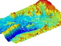 The USGS also has a website with a declassified satellite image of the entire Dry Valleys region http://usarc.usgs.gov/antarctic_atlas/. They made a Digital Elevation Model to go along with the image. The DEM isn't all that great because it is affected by clouds and doesn't quite know what to do with extremely white snow and ice surfaces. Hence, there are some holes and mountains where there shouldn't be. I imported the data into Matlab and plotted the section that includes the Taylor Glacier:
Intro to Iceberg Science
Intro to Taylor Glacier Science
Cool Taylor Weather Station Movies
Weather Station Data Analysis
AGU Poster 2004 (5.3 Mb pdf)
AGU Poster 2005 (4.6 Mb pdf)
AGU Poster 2006 (2 Mb pdf)

Here is the Taylor Glacier portion of the McMurdo Dry Valleys Satellite Image Map from the United States Geological Survey (USGS). The Landsat 4 satellite took the image on January 6th, 1993.
 The USGS also has a website with a declassified satellite image of the entire Dry Valleys region http://usarc.usgs.gov/antarctic_atlas/. They made a Digital Elevation Model to go along with the image. The DEM isn't all that great because it is affected by clouds and doesn't quite know what to do with extremely white snow and ice surfaces. Hence, there are some holes and mountains where there shouldn't be. I imported the data into Matlab and plotted the section that includes the Taylor Glacier:
